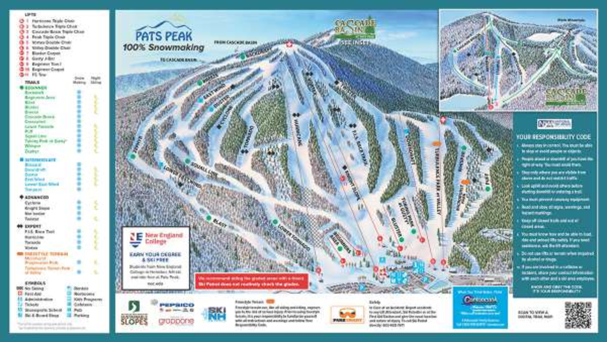
Pat’s Peak Ski Map Download 👇
Pat’s Peak Piste Map and Overview
Pat’s Peak shines as a top-tier community ski area in southern New Hampshire, thanks to its balanced mix of accessibility, affordability, and well-maintained terrain. With 28 trails serviced by 11 lifts – including a trio of triple chairs and a robust snowmaking system covering nearly 100% of the mountain – it consistently delivers excellent conditions throughout the season. The mountain appeals equally to families and more seasoned skiers, offering terrain ranging from gentle novice slopes to challenging expert runs and dedicated glades, plus terrain parks and a FIS‑rated race trail.
Conveniently located just 90 minutes from Boston, Pat’s Peak also features extensive night skiing – covering the majority of its terrain – and a lively après‑ski scene anchored by the Sled Pub. This combination of accessibility, variety, and community-focused charm gives it a warm, welcoming vibe – think of it as a ski resort with a neighborly feel.
Ski area size = 33 km / 20.5 miles
Base elevation = 180 m / 590 ft
Peak elevation = 426 m / 1,398 ft
Difficulty:
🟦 30% Easy
🟥 24% Intermediate
⬛ 46% Advanced
