Ždiar Strednica Ski Map Download 👇
Ždiar Strachan Ski Map Download 👇
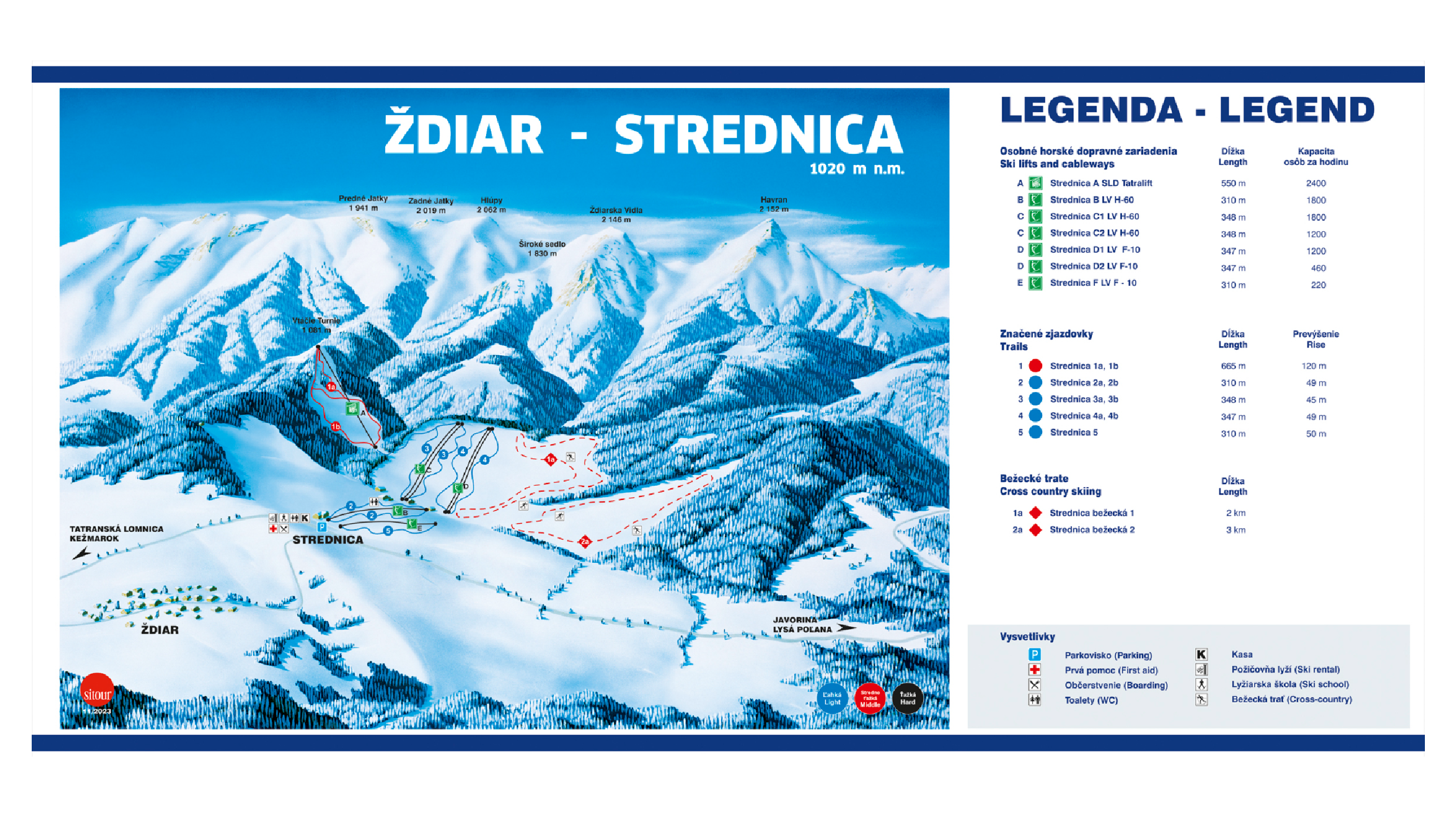
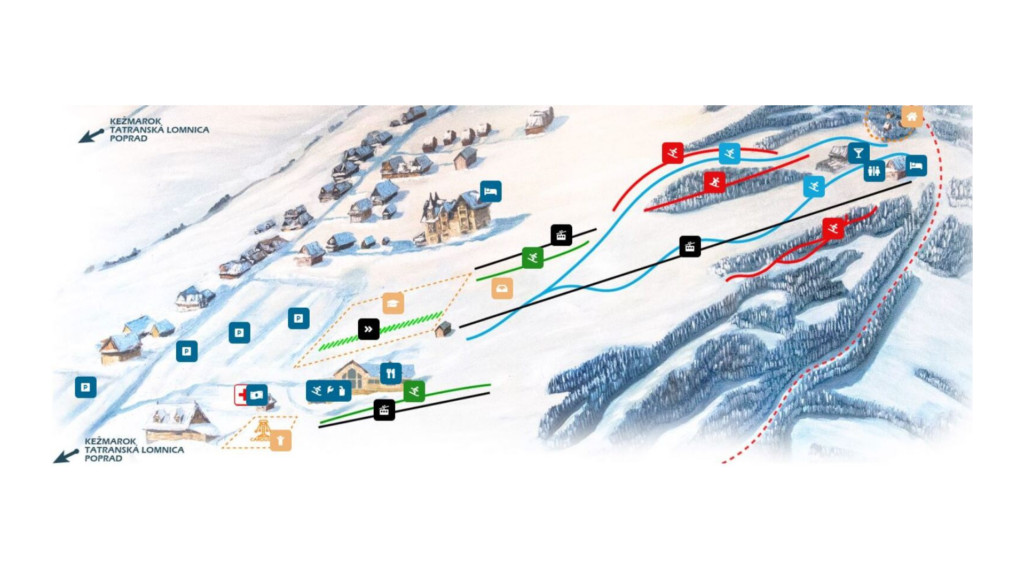
Ždiar Piste Map and Overview
Ždiar, nestled in the picturesque Belianske Tatras of northern Slovakia, is a charming ski destination renowned for its family-friendly atmosphere and scenic beauty. The village hosts two main ski areas: Strednica and Strachan. Strednica offers 3.6 km (2.2 miles) of slopes with a vertical drop of 114 m (374 ft), while Strachan provides 3.8 km (2.4 miles) of runs and a vertical drop of 149 m (489 ft). These gentle terrains are ideal for beginners and intermediate skiers seeking a relaxed and enjoyable experience. The resort’s facilities include a total of 10 lifts across both areas, ensuring smooth access to the slopes.
Beyond alpine skiing, Ždiar offers a variety of winter activities, including cross-country skiing with approximately 30 km (18.6 miles) of trails, snowshoeing, and traditional horse-drawn sleigh rides. The resort’s location within the Tatra National Park provides a picturesque setting, with trails that cater to both classic and skate skiing styles. Additionally, the region is known for its rich cultural heritage, with traditional wooden architecture and local folklore adding to the unique charm of the area.
Total ski area: 7.4 km / 4.6 miles (combined Strednica and Strachan)
Base elevation: 967 m / 3,173 ft
Peak elevation: 1,129 m / 3,704 ft
Difficulty:
🟦 70% Blue
🟥 30% Red
⬛ 0% Black