Orelle Ski Map Download 👇
Orelle Piste Map and Overview
Orelle is a hidden gem tucked into the Maurienne Valley, offering a peaceful, charming base far from the bustle of the bigger Three Valleys resorts. The village is made up of ten small hamlets with traditional alpine architecture, giving a tranquil, authentic feel. From here, you hop into a modern, fully-glazed 10-person gondola that whisks you up to the ski area – no long shuttles or traffic, just a quiet mountain lift ride to serenity.
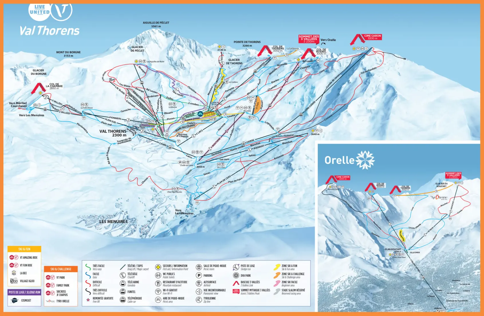
What makes Orelle extra special is its direct access to Les 3 Vallées, the world’s largest lift‑linked ski area. With your skis on, after the gondola, you can cruise into the vast 600 km network of pistes. But there’s also a more focused option: the Orelle–Val Thorens ski area offers 150 km of slopes with most of the terrain at high altitude – meaning great snow quality and wide, open high-mountain runs.
Total ski area: 150 km / 93 miles
Base elevation: 880 m / 23887 ft
Peak elevation: 3,230 m / 10,597 ft
Difficulty:
🟦 56% Easy
🟥 34% Intermediate
⬛ 10% Advanced
What’s included in the Orelle Ski Pass?
- If you take the Les 3 Vallées ski pass, you get full access to all the linked resorts: Courchevel, Méribel, Les Menuires, Val Thorens, and Orelle itself.
- Alternatively, there is a more limited Orelle–Val Thorens pass:
- This covers just the 150 km sector between Orelle and Val Thorens.
- It’s a good option if you want high-altitude skiing without paying for the entire 600 km Three Valleys area.
